Monday 14 January 2019

Badgers Oak Tunnel to Slip Mill Lane


This side of the tunnel we are in the Rother Valley as we begin to descend at last (at 1 in 80).
It was about half a mile from Hall Farm Bridge to Badgers Oak Tunnel as we set off southward from the tunnel towards Hawkhurst Station site to see how far we are allowed to walk before we encounter a 'Private' sign.


The track bed is dead straight at first as we emerge from the tunnel to find ourselves in a fairly deep cutting. Beautiful!


           The tunnel, partially obscured by a fallen tree, seems a long way back already.


                                                               The cutting shallows out.


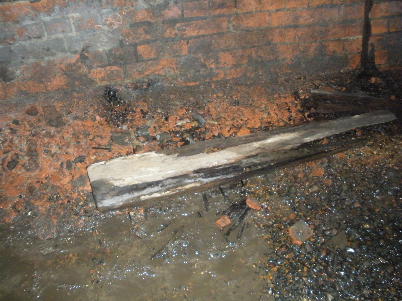
                            Old railway sleepers mark the original railway border.


                                Mixed with the earth and leaves is some railway ballast.


So far we have been going in a straight line, Badgers Oak Tunnel is back there in the distance.


I don't know what these bricks were part of? I do not believe that they were related to signalling, According to one book, Hawkhurst distant signal stood half a mile from the station but I do not think that the signals had brick bases.  There were plate-layers huts scattered along the line, perhaps this was the base of one?

Update May 2020. As per Lord Tantrums comment, this was a maintenance hut. It had largely been constructed from railway sleepers but it did have a brick chimney.


Two ancient fencing posts I discovered on my trip. Which is the oldest?


At the bottom of a steep embankment I spotted one of the culverts that carried water under the line circa 1893, I guess this one was about two feet in diameter (and water was trickling from it into a ditch.)


Getting back up the steep embankment was challenging though, fortunately I remembered some of the skills I learnt in boyhood!


This walk has taught me a lot about the heavy engineering that was required to build this line, the surrounding hills are constantly undulating, but these embankments and cuttings were doggedly created with spades, muscle and sweat. I do admire the Victorian engineers, they had a 'can do' attitude, nowadays despite all the wonders of modern technology, Network Rail would complain that it would be virtually impossible to undertake such an enterprise and be 'vastly expensive'.


                                 A view down from one of the higher embankments.


                                                                         But!


            Sadly a 'private' sign, gate, an awning and a caravan mark the end of the walk.

Checking Google maps later (after Richard's comment) I think we are close to Slip Mill Lane at a point about five hundred meters from the where the buffer stops stood. Usually I visit old parts of the line with some trepidation as I am often upset by the destruction that has taken place. Overall though I was very heartened today as I was probably able to walk for over a mile without encountering a fence or a 'keep out' sign. I would like to thank the landowners who obviously have an appreciation of history and who have generously allowed the public to visit this wonderful place.

Sunday 13 January 2019

Badgers Oak Tunnel (South end)


                                                       A view looking back to the North portal.


                                                      A view towards the South portal.


                        I did find one very rotten old railway sleeper in the tunnel.


                                   Another refuge. (There are only four altogether.) 


The engineer who marked out the sections of the tunnel was not the same person who marked out Horsmonden tunnel.


                                                           Yes, you've guessed it!


                                                          It is not so wet here.


                           (Looking north.) The curvature of the tunnel is quite noticeable here.


Outside the tunnel now, and again this tunnel has large retaining walls. (Horsmonden Tunnel has no retaining walls like this.) Here the tunnel number is displayed much more clearly showing no. 1532 (Horsmonden was 1472).


The South Portal is different from the North Portal and Horsmonden Tunnel! This has a four brick lining, I have never noticed this before or read about it. 


This tunnel has always had problems with water ingress, even during it's working life. There is an old photograph in Peter Harding's possession showing the tunnel being constructed from the North Portal, I suspect that the engineers began constructing with a three brick lining but switched to four bricks at some time during construction because of their concerns over water ingress. I would say that the wettest part of the tunnel is probably about a third of the way in towards the North Portal.


              The retaining walls keeping the banks in place are many bricks thick.


           It was quite possible to clamber up one of the retaining walls for another snap. Watching a steam locomotive bursting out of the tunnel would have made a wonderful photograph!


Above the tunnel one of the capstones has been pushed down onto the track bed. These large lumps of masonry must have been very heavy. Did the builders use a crane to get them in place? 


      What a view! Again from above the tunnel the line begins to descend at last at 1 in 80 on a straight line.


                   Point of impact! The remains of the other capstone on the track bed.


I feel that the tunnel will  become unsafe in a few more years if it is not maintained. I only found the remains of one old railway sleeper and there were no old rails that I could see.


Saturday 12 January 2019

Badgers Oak Tunnel (North end)

This was the highest point of the line at about 200 feet above mean sea level. There are quite a lot of videos and accounts of peoples visits here so I am expecting it to be very wet and a little 'creepy',  there are also supposed to be old abandoned railway sleepers and an even an old rail according to one 'Youtuber'.


                                                The last swamp before the tunnel.


 The Northern Portal looks the same as Horsmonden Tunnel, and this too has a three brick        lining. The vegetation obscures a clear view of the design in the brickwork.


The paint on the original PWH tunnel reference number has been eroded away over the years.

As I entered the tunnel the sounds of bird song diminished to be replaced by the sound of hundreds of drips falling from different parts of the roof. Maybe that is why it feels creepy to some people.


Once more the same red bricks have been used. Like Horsmonden there are 'bleed pipes' set in the walls every five meters or so. They are all dry though. This one seems to have been cemented in rather badly.


               The walls are very wet in some places as water streams down from the roof.


                                           Wet mud covers most of the floor.


A shot of the wet roof. White calcite deposits are more apparent than black soot deposits. (Why did I not manage to get a picture of the roof of Horsmonden tunnel?)


                         Brick particles cover the floor. (This seems quite concerning.)


Calcification has began on some of the brick work. The constant dampness has caused a chemical reaction in the bricks, leeching out salts and impurities.


A  shot of the first refuge. Here the tunnels are different, I am about six feet tall and I was able to stand upright in one with my head brushing the top of the arch, I had to squat in Horsmonden tunnel as it was at least six inches lower.


                                                           More brick chippings.


                        A second refuge, this one is in good condition. Why are there always broken bottles found in places like this? A person would have to be really depressed to sit in a dripping dark tunnel getting sloshed!


The inside of another refuge in a poor state of repair. The bricks have crumbled away exposing the bare rock behind.


                                      Some of the bricks in the wall are missing too.

The tunnel is somewhere between 172 and 178 yards long depending on who's account you are reading. I wisely bought a torch, and a coat with a hood (which I had to raise immediately) but I only wore walking boots as I had left my wellies in the shed and have lost the keys somewhere in the garden! Fortunately  the water never went over my boots. I felt ever so slightly uneasy at one stage but I don't usually mind places like this. If, however, the tunnel had been longer and wetter then it may have unnerved me! Despite being at a higher elevation the tunnel is much wetter than Horsmonden tunnel, but at least the water can drain away down the track bed. Horsmonden Tunnel is so full of rubbish that any water in there can't escape easily (see my 2015 blog).

Hall Farm Bridge to Badgers Oak Tunnel [part three]


It must have been quite a sight in Victorian times looking up from the wood towards the top of the embankment to see a train hauling its wagons to the highest part of the line. Finally, the industrial revolution had reached this part of Kent!


                           The land around is rising up again as we approach the tunnel.

There was one more area of fallen trees that went on for about 40 meters and had yet to be negotiated (I have learnt to take my glasses off in these situations since loosing them in similar terrain north of Horsmonden tunnel) and then more swamp before the tunnel was reached.


                             Badger Oak Tunnel looms into view as we enter the final cutting.


                                          A view from the side of the track bed.

I know that I have gone into a lot of detail but experience has taught me that this could all be gone tomorrow.
I would rather have too many records of what was left as at January 2019 than not enough.

Hall Farm Bridge to Badgers Oak Tunnel [part two]


All the way from Hall Farm Bridge the track bed is still rising at 1 in 80, but swamps still keep appearing bringing back memories of Horsmonden South cutting before it was filled in. I would not like to do this walk after heavy rains!


In some places where there has been water recently the ballast used on the track bed is apparent.


What are these? There are two square brick structures one each side of the track. One Youtuber thought that they were the remains of a bridge


There are also the remains of  wooden steps going up the bank (perhaps the others are buried under leaf mulch, or have rotted away.)


These structures had covers once, the broken parts of one lies nearby. Pipes drip water into a kind of sump. It appears to be something to do with drainage.


                                                                    Another bog!


Someone's doing fine.


           The cutting has almost disappeared as the surrounding countryside has risen sharply.


    Old railway sleepers border the track bed. This one is looking particularly worn out.


The track bed has risen again, this embankment is very high, it could be the highest one on the whole line which was at 49 feet. 


           This picture shows how quickly the land falls away at the side of the embankment.