Carrying on from the last post 'A sentimental Odyssey' continues...
I clamber down through a hedge and into the next field, changing direction so that the line is now on my right and the beginnings of half a mile of embankment start to emerge (despite this the line still drops down towards Paddock Wood at 1 in 66 for another mile or so but of course the surrounding land drops more quickly).
I struggle over the electric fence at an easier point and up the bank which is perhaps 20 feet high now. Thousands of tons of gravel were brought down in wagon loads when this was built and most of the earth which was extracted from the cuttings and tunnel nearer to Horsmonden were added on top. Some of the exposed gravel on the bank can be seen here (birch stick and left welly also feature).
Looking North-West the embankment is clearly defined. I have not yet seen a single 'Private / Keep Out' sign throughout my journey or met a soul. 'Swigs Hole Farm' (Swigs Hall as it is now called) begins to emerge in the distance.
An old relic from the 1950's or 1960's ?
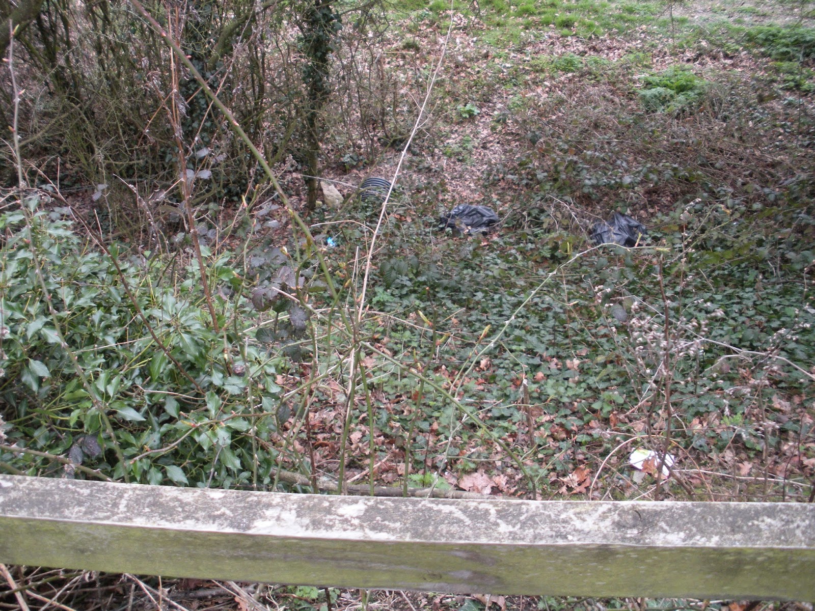
Another cock begins crowing as I approach Swigs Hole Bridge now and some odd objects are appearing in the distance which turns out to be plastic water tanks!
Beyond the water tanks access is barred by razor wire! They should be aware that children play around here. Sounds like a George Warleggan character from Poldark - I keep a close lookout for mantraps!!
Above is a picture of the farm track heading towards the Maidstone Road from the side of the top of the bridge.
I had no choice but to slide down on my bum (you can see where the soil is disturbed) but you can see also what a fine bridge this is. It looks wide enough for two trains but the line was only used for one track.
Above: A view from an earlier visit in February (Bethany had not fancied the scramble up so we had not met the razor wire then).
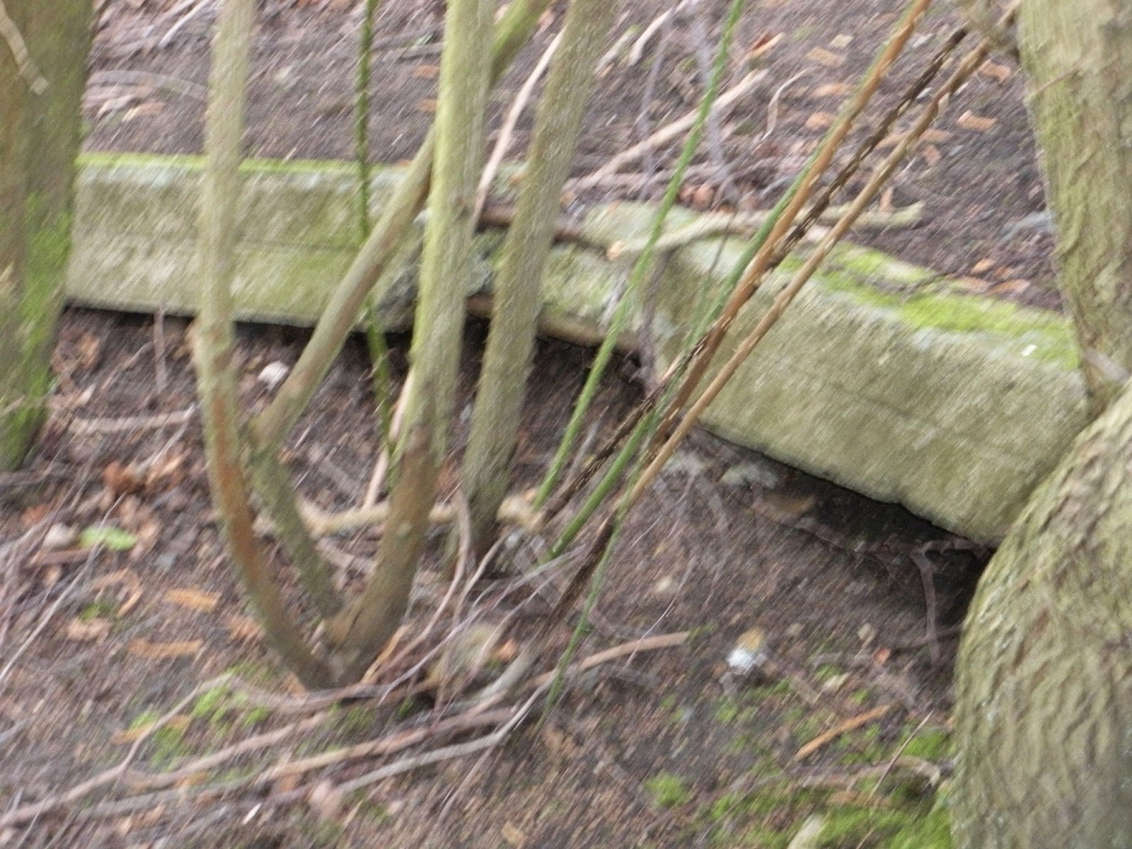
Above a very old style of fencepost a probable surviving relic of the railway era.
Well I want to carry on so I am forced to enter a rough field on the other side of the bridge parallel to the embankment. The field ends and I enter the next and then scramble back up the bank (below).
Two old sleepers held down by iron bars give testament to one of the last platelayers' maintenance efforts.
A blurry image of the track bed as I resume north once more.
Primroses.
Oaks, birches and willows have all colonised this ground.
A pond appears below and to the North West.
'Happy Birthday Olivia - 9'
Goodbye Olivia!
Down the bank and to my right a stream appears from under the embankment.
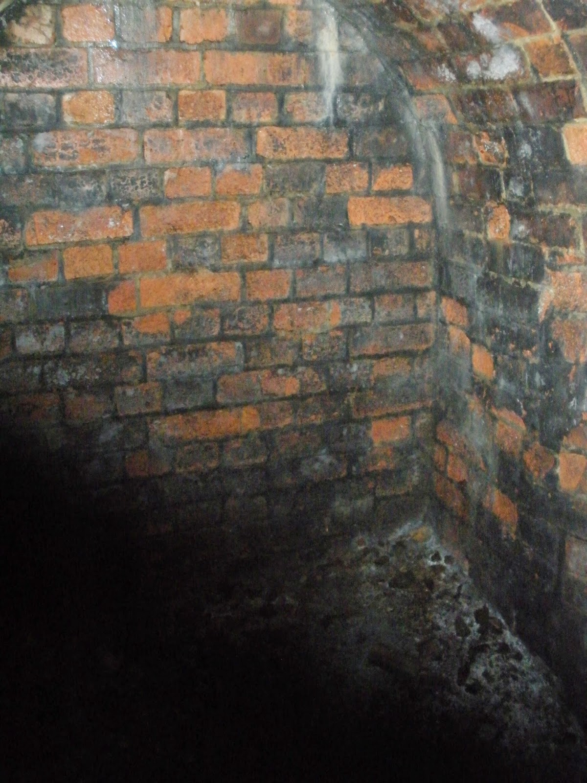
With the aid of a piece of rope tied to a tree (probably left there by children) I scramble down and get a poor photograph of the 8 foot wide bridge over the culvert, due to the mud and fallen trees this is all I can get. (It is hard work extricating my boots from the sucking mud). Few people will ever see this, it will have been here from 1892 and some people once went to a lot of effort to build it. It has functioned every day since (I wonder how aware the local parish councillors even are of its existence).
Back up the embankment (using the rope) and along again, the stream meanders down and to my right on its way to join the Teise. Not long after this I start to hear intermittent traffic noise ahead and to my left so I must be approaching Yew Tree Green Road. Once there was a railway bridge here and the road went over the railway, is it still there?
A few minutes later and the embankment is discernibly lower. Ancient sleepers help to form the fence with the adjoining field. In the days of low population and minimum trespass (if that existed) the railway probably improvised with old railway sleepers and a few strands of wire as a fence, indeed our old back garden which backed onto the railway a mile or so further south originally had a fence like this. Fencing would have been a constant drain on resources for any railway company.
This (willow?) gives out a delicious smell like honeysuckle just as the sun appears for a few seconds.
Above: The Northern end of the embankment begins to peter out.
Finally after a few more obstacles of the plant variety I emerge in the open to scrub land and piles of bricks. According to diagrams there had once been small cuttings each side of the bridge. It is very likely that the bridge does exist but is buried under piles of bricks and earth but there seems to be too much rubble lying around to merely be from the parapet of the old bridge.
Yes?
............A grand sounding title under the circumstances. I can't understand the economics of destroying a structure and then randomly dumping the bricks into an adjacent field, subsequently blighting it so that no crops can be grown and few animals (except mountain goats) can graze in it.

Yew Tree Green Road today (just another featureless lane with a slight bump where the bridge once stood).
(This was taken one evening a few months later). Looking across and down towards Churn Lane three or four fields away, the line headed towards Rams Hill but then began curving in a wide arc to the left.
120 or 100 years ago my journey would have taken perhaps 3 minutes by steam train,
50 years ago walking with some rubbish on the track bed perhaps 40 minutes walking, today (although not rushing) perhaps 3 1/2 hours.
The whole Hawkhurst Line history fascinates me but I am always left with a sense of sadness and despair when I see how little has been preserved. It ran into the High Weald and was built in an age of engineering prowess. It opened up Horsmonden and its farms to the rest of the country and from 1892 farmers could get their goods to market, it would no longer be a day trip by horses and carts to Maidstone or Tonbridge over poor roads. Also it helped feed Britain during the war when it's citizens were only a few months away from starvation and it connected villages and gave their inhabitants a new pride in their community. Its a pity today that there is so little knowledge or interest in the subject while the village has continued to grow.